
REAL ESTATE DRONE PHOTOGRAPHY
LIST HIGHER. SELL FASTER.
From sprawling industrial parks to multi-storey office buildings and mixed-use developments, Elev8 drone photography gives commercial real estate agents, developers, and vendors the aerial imagery needed to market properties at scale — and close deals faster.
68%
FASTER SALES FOR LISTINGS USING DRONE PHOTOGRAPHY
57%
OF BUYERS EXPECT 8-10 AERIAL SHOTS PER LISTING
65%
MORE LIKELY TO BOOK AN IN-PERSON MEETING
1 day
TURNAROUND ON EDITED DELIVERABLES
WHAT AERIAL IMAGERY DOES THAT GROUND PHOTOS CAN’T
WHY DRONE PHOTOGRAPHY
For commercial real estate especially, context is everything. A warehouse doesn't sell on interiors alone — buyers and tenants need to understand access, scale, surroundings, and site potential. Drones deliver all of that in a single flight.
Site Scale & Footprint
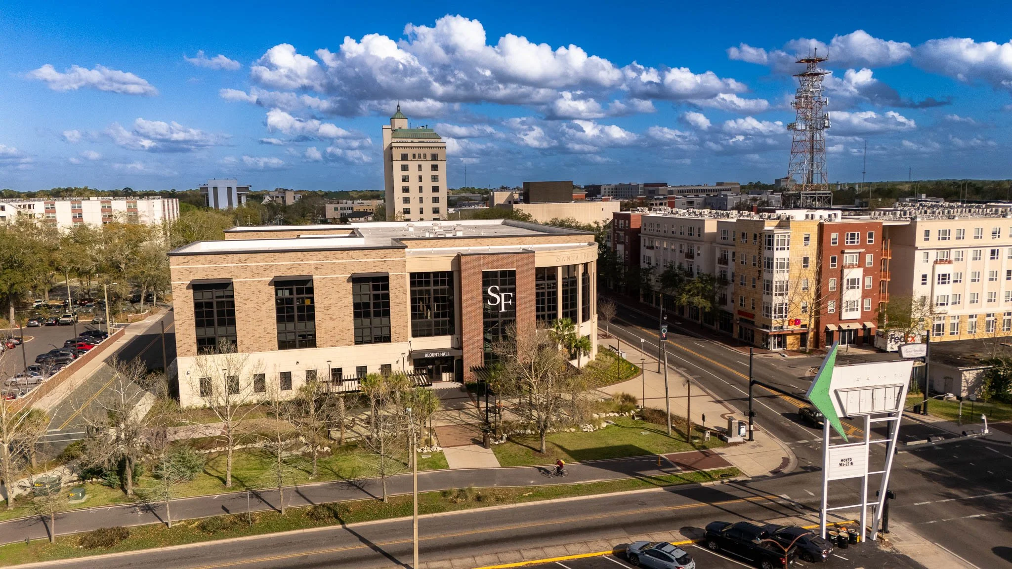
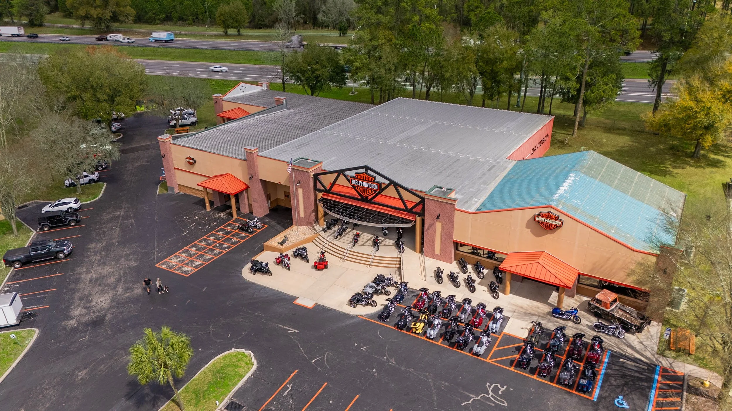
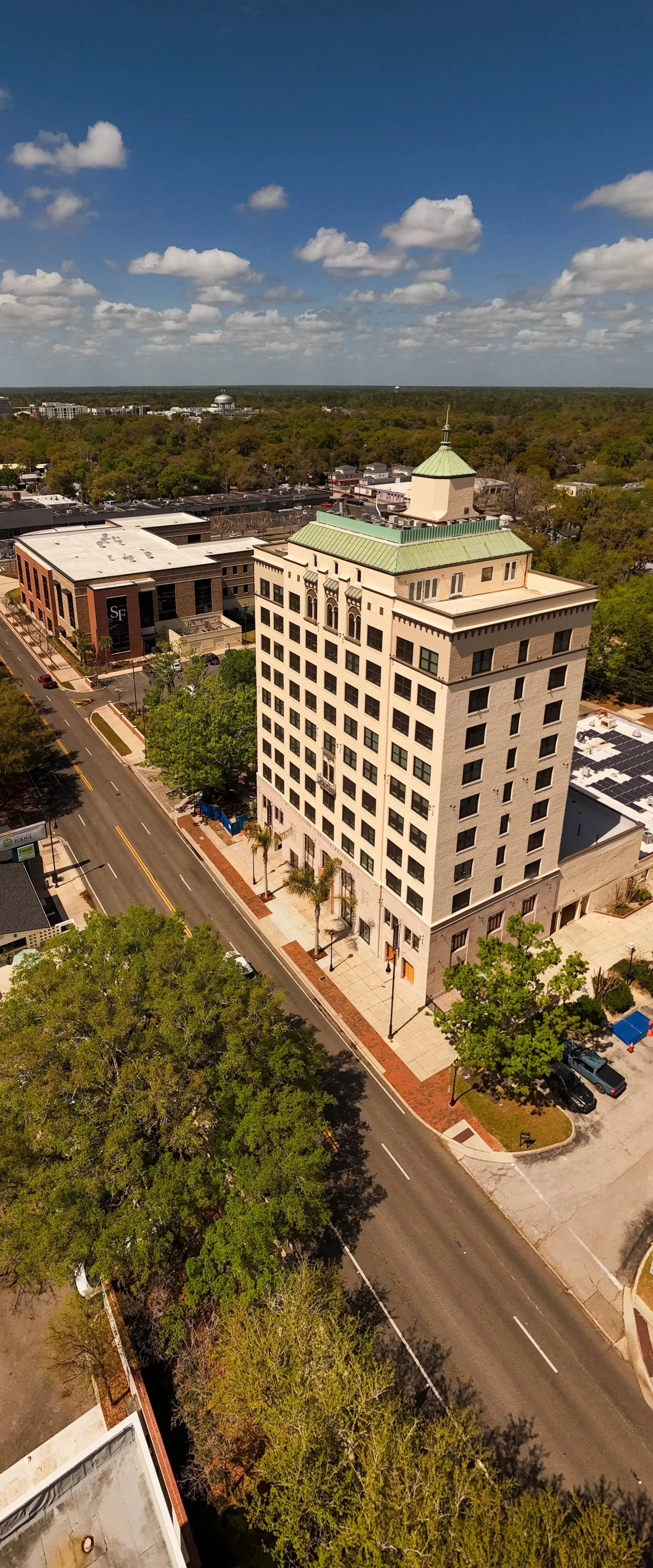
Commercial properties are often too large for ground photography to capture meaningfully. Drones show the full building footprint, car parking, loading bays, yard space, and site boundaries in a single overhead — giving buyers the spatial context they need to make decisions.
Land & Development Potential
For development sites and land sales, aerial photography communicates potential in a way no other medium can. Buyers can assess plot size, topography, neighboring uses, and planning context before ever visiting the site.
Cinematic Marketing Video
A professionally edited drone flyover elevates the perceived quality of any commercial listing. For high-value assets, video is increasingly expected by institutional buyers and serious occupiers — and dramatically increases online engagement with the listing.
Access & Infrastructure
Road access, motorway proximity, rail links, and surrounding infrastructure are critical factors for commercial occupiers. Aerial imagery shows all of this in one frame — far more effectively than any written description or ground-level photograph.
Roof and External Condition
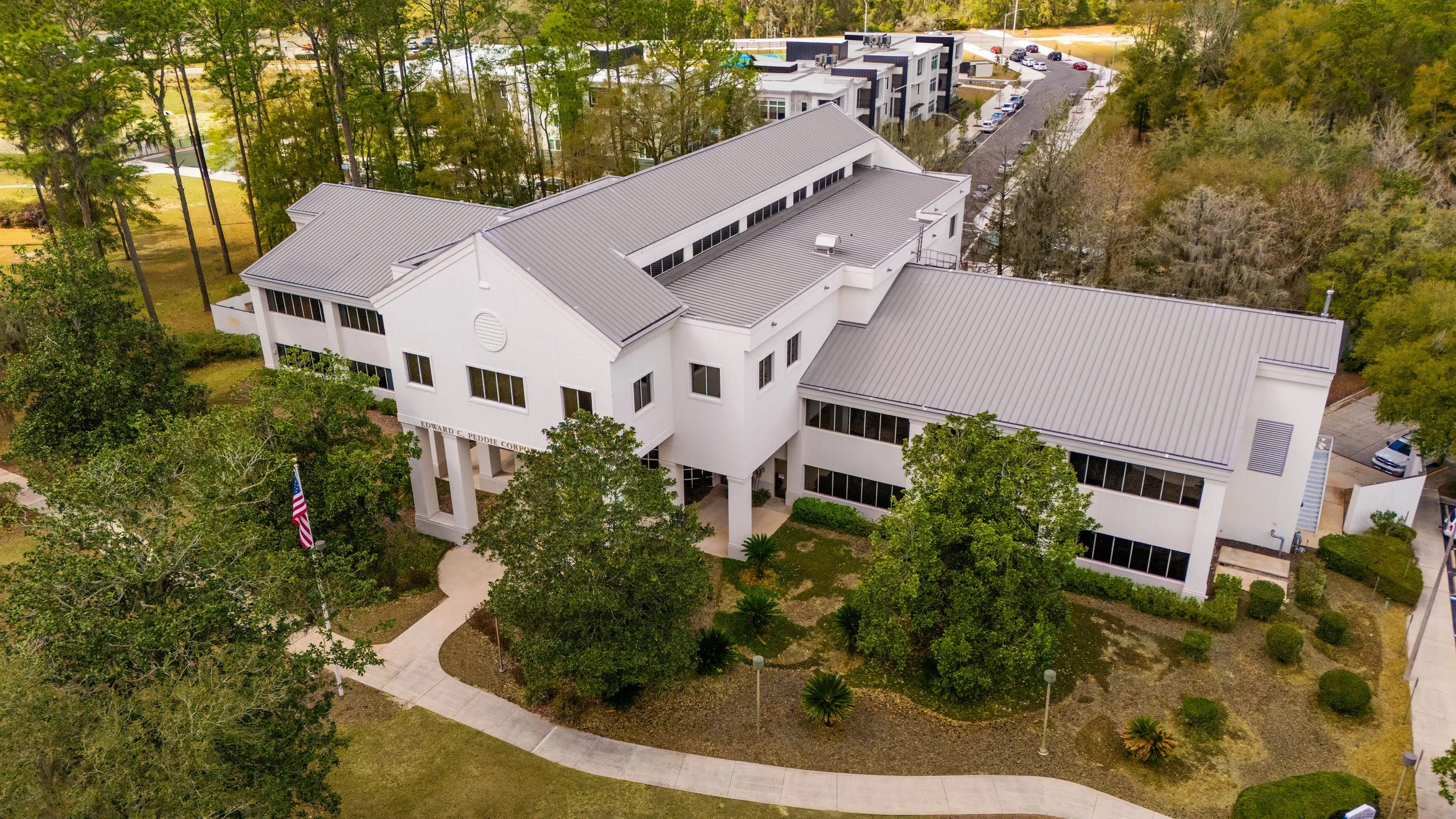
Commercial buyers and occupiers conduct thorough due diligence. Aerial imagery of the roof, external elevations, and service areas gives them confidence in the asset's condition — and reduces the number of site visits needed before heads of terms are agreed.
Stronger Asking Price Support
Premium aerial imagery signals a premium asset. For commercial properties especially, the quality of the marketing pack directly influences buyer and tenant perception of value — and gives agents stronger justification for the asking price from day one.
TRADITIONAL VS. DRONE PHOTOGRAPHY
FOR COMMERCIAL PROPERTY
SIDE BY SIDE
The same asset. Two Completely different levels of marketing impact.
✕Cannot show site scale, yard space, or plot boundaries
✕ Access routes, junctions, and infrastructure invisible from street level
✕ Rooftop, plant, and external condition require special access
✕ Large multi-unit estates cannot be captured quickly from the ground
✕ Location context relies on static maps rather than live aerial imagery
✕ No video flyover option - limiting engagement on digital platforms
TRADITIONAL GROUND PHOTOGRAPHY
✓ Full site captured from above - scale, yard, boundaries, and layout
✓ Road access, junctions, and infrastructure shown live in aerial context
✓ Roof captured safely - no access equipment needed
✓ Entire Industrial estate or retail park covered in a single flight session
✓ Location context shown as a live aerial - not a map screenshot
✓ 4k flyover video formatted for portals and social media
ELEV8 DRONE PHOTOGRAPHY
WHAT YOU RECEIVE
elev8 solutions
Every real estate shoot with Elev8 includes a tailored set of edited, ready-to-publish assets — covering all channels from property portals to investor presentations.
High-Resolution Aerial Stills
A curated selection of edited overhead and oblique still images delivered as print-ready JPEGs — optimised for property portals, marketing brochures, and investor materials. Shot to highlight scale, access, and the asset's position within its wider context.
01
Geo-Referenced Location Overhead
A high-altitude overhead showing the property in the full context of its surrounding infrastructure, transport links, and neighbouring occupiers — the single most useful image for any commercial marketing brochure.
02
4K Cinematic Flyover Video
A smooth, professionally edited flyover reel — typically 60–90 seconds — with color grading and optional music bed. Formatted for property portals, LinkedIn, YouTube, and investor presentations. Increasingly expected for any commercial asset over $1m.
03
Social & Digital Ready Cuts
Vertical format clips and crops optimised for LinkedIn, Instagram, and email campaigns — so your listing works across every platform your buyers, occupiers, and investors are on.
04
who uses elev8 real estate services
IDEAL FOR
COMMERCIAL AGENTS
RESIDENTIAL AGENTS
PROPERTY DEVELOPERS
INVESTORS
RETAIL ASSET MANAGERS
Whether you're marketing a single industrial unit or a 500,000 sq ft distribution center, Elev8's licensed pilots tailor every flight plan to capture the asset at its best — safely, legally, and within your marketing timeline.
SEE MORE. KNOW MORE.
DO MORE.
Ready to give your commercial listings the marketing edge they deserve? Let’s talk about your next property shoot.