
CONSTRUCTION DRONE SERVICES
YOUR SITE. ALWAYS IN VIEW.
From ground-break to handover, Elev8 gives construction teams a precise, aerial perspective of their site at every stage — faster, safer, and more comprehensive than any traditional method.
75%
REDUCTION IN SITE SURVEY TIME VS. TRADITIONAL METHODS
5X
MORE SITE COVEREAGE PER HOUR THAN GROUND-BASED CREWS
30%
REDUCTION IN REWORK WHEN USING REGULAR PROGRESS MONITORING
1 day
TURN AROUND AFTER DATA CAPTURE
BUILT FOR CONSTRUCTION PROFESSIONALS
WHO WE WORK WITH
Elev8 works directly with the teams making decisions on site and in the office - delivering data that’s immediately useful.
General Contractors
Keep your program on track with regular aerial progress records that give you an honest, consistent view of site activity — and the evidence to back it up in client meetings.
Civil Engineering Firms
Accurate topographic surveys, cut and fill volume data, and detailed site mapping — captured faster and with less site disruption than traditional ground-based methods.
Property Developers
Show investors and purchasers real, up-to-date progress imagery from above. Aerial footage builds confidence and keeps sales momentum going through the construction phase.
TRADITIONAL SITE MONITORING VS. DRONE-LED MONITORING
THE OLD WAY VS. THE ELEV8 WAY
The same construction site. Completely different levels of visibility.
✕ Ground-based site walks miss rooflines, and wide areas
✕ Manual surveys require large crews and significant time on the ground
✕ Progress photos are inconsistent - different angles, lighting, and coverage each time
✕ Stakeholders must visit site physically to assess progress
✕ Earthwork volume errors often only discovered late - after costly mistakes
✕ 3D models expensive, slow to produce, and quickly outdated
TRADITIONAL METHODS
✓ Complete aerial site coverage in a single flight
✓ One licensed pilot, zero site disruption, rapid data capture
✓ Consistent geo-referenced imagery - directly comparable visit to visit
✓ Remote access to site imagery for clients and project managers anywhere
✓ Weekly volume tracking catches earthwork issues while correction is still cheap
✓ Up-to-date 3D models produced quickly and updated throughout the project
ELEV8 DRONE SERVICES
WHAT YOU RECEIVE
elev8 solutions
Every construction engagement with Elev8 delivers a tailored set of processed, ready-to-use data outputs - giving your team the information needed to make faster, more confident decisions on site and in the office.
High-Resolution Orthomosaic
A geo-referenced, stitched overhead map of your entire site captured from consistent altitude and angle. Orthomosaics integrate directly into GIS, and project management workflows - giving your team a precise, up-to-date top-down view of site conditions after every visit.
01
3D Site Models
Photogrammetric 3D point clouds and mesh models generated directly from drone imagery - capturing every structure, earthwork, stockpile, and surface feature in accurate three-dimensional detail. Updated as frequently as your project requires, these models give project managers, clients, and stakeholders a clear picture of exactly where the build stands at any point in time.
02
Stockpile Volumetric Measurements
Precise cut and fill volume calculations derived from Digital Elevation Models - no ground crew required and no disruption to active site operations. Accurate to within 1-2%, these measurements give project managers reliable earthwork data to track progress, verify contractor quantities, and catch over-cut or under-fill conditions before they become costly corrections.
03
360° Video Walkthroughs
Immersive video walkthroughs that let clients, investors, and remote stakeholders experience the full site without a physical visit. Delivered as a shareable video, 360° walkthroughs are ideal for capturing areas inside structures where a drone can’t go. Giving stakeholders a complete, accurate picture of site conditions both aerially and internally.
04
examples of what we do
Select the layer menu (hamburger) in the top right.
Then select orthophoto for any of the 3 data sets.
Finally, select the swipe compare button →
34th st dance alive - Progress

3d model of charles r. perry construction institute
Select “Textured Model” then “Show Model” for the full resolution 3D model
the collegiate on 20th
Click and drag around the image to explore The Collegiate on 20th - blocks away from UF.
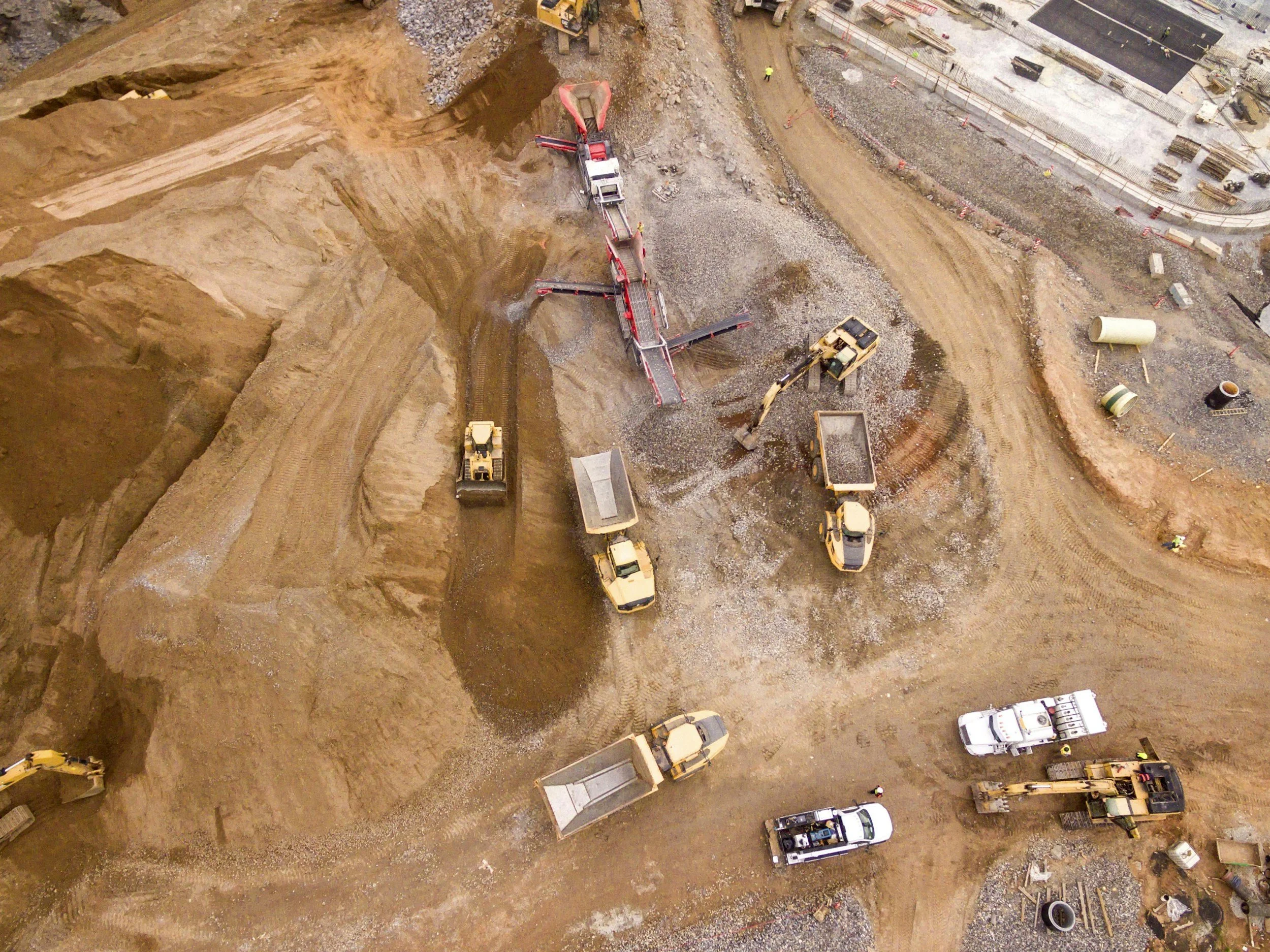
we help general contractors and developers increase efficiency and keep projects on track
Get in touch today and receive your first flight and results free - limited availability